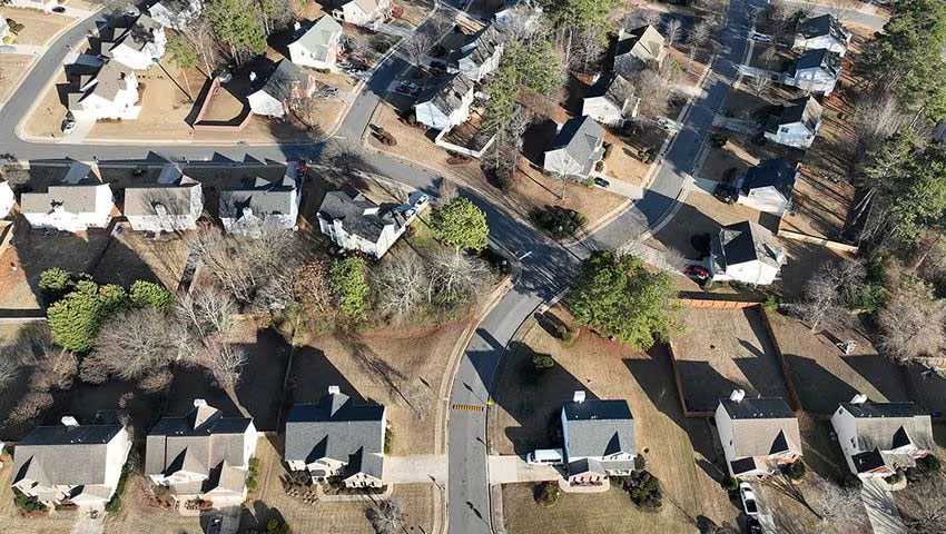
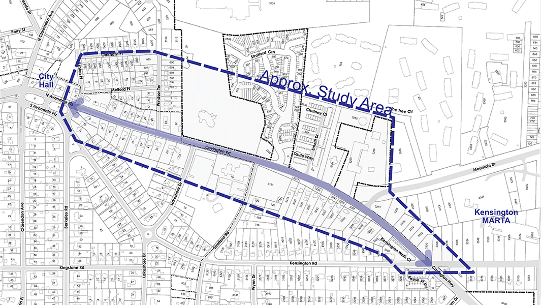
The City is starting a study to develop long-term planning for Covington Highway, the main thoroughfare on the eastern side of the City. The highway has limited pedestrian and bicycle infrastructure, yet is a short walk from the Kensington MARTA station. The corridor has underdeveloped properties and institutional owners, some of whom are looking at future redevelopment opportunities. To prepare for the eventual evolution of the corridor, the city plans to build upon existing long-term planning documents to address multi-modal transportation connectivity along the corridor, as well as opportunities for open space. This effort proposes to evaluate recommended site design and building mass, scale and height, and explore desired uses with area property owners and community members.
This proposed project has three phases:
- Existing conditions, content gathering and analysis
- Concept framework plan
- Final plan
The community will have several opportunities to provide input:
- May 24: Community feedback on the proposed framework at the City’s Community Open House
- September: Online survey
- TBD: Community meeting to review draft package
- TBD: Final presentation to BOMC
The final deliverables will include an analysis of existing conditions, streetscape concepts to complement North Avondale/College Avenue, a framework plan with concepts for street connections, development areas and other mobility connections, development test fits on three identified sites, as well as 2d and 3d massing modes. These deliverables will be provided as a PDF along with the native formatting document (InDesign or Affinity Publisher).
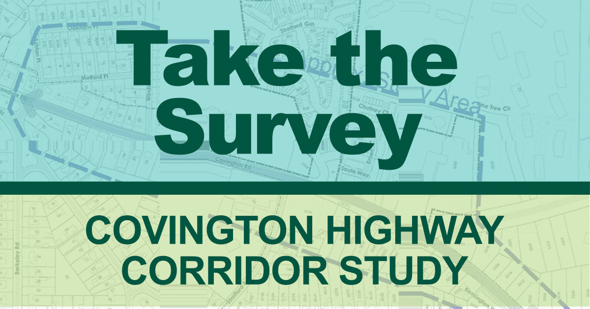
Provide Your Input on the Covington Highway Corridor
As the City plans for the eventual evolution of Covington Highway, residents, businesses and community members are invited to participate in a survey to provide feedback on the future of the corridor.
Weigh in on the long-term plans to address multi-modal transportation connectivity and opportunities for open space and future land use.
Review the presentation and take the survey.
Thanks for participating.
Read the original post on AvondaleEstates.org.